© RICARDO B. BRAZZIELL/AMERICAN-STATESMAN] / © David Rodriguez/The Salinas Californian via Imagn Content Services, LLC
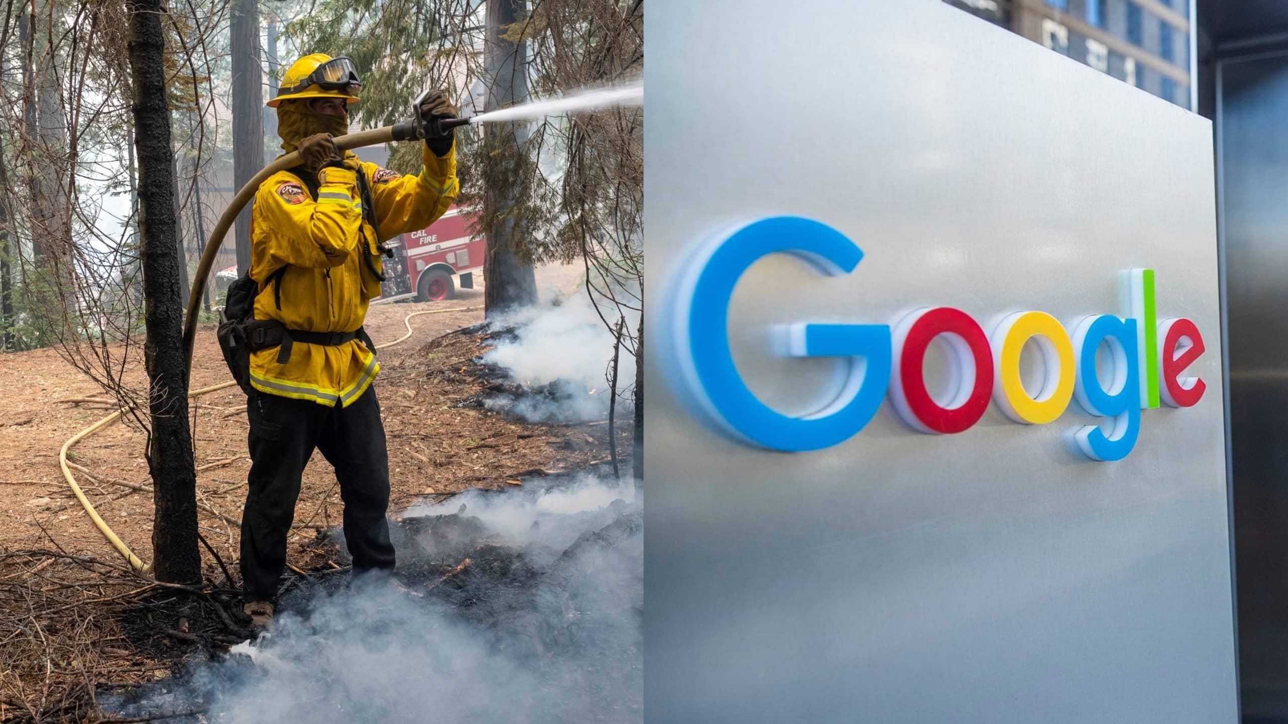
(Mountain View, CA) – Google is investing money in new technology that aims to make it easier to fight wildfires. The search-engine giant, headquartered in wildfire-plagued California, announced the move Monday. It involves using artificial intelligence-powers satellites in a bid to improve wildfire detection.
Google parent Alphabet will spend $13 million to improve its current satellite imaging. Using AI, satellite imagery will be overlaid with Google Maps images, creating a predictive map. Camera network space will be enhanced. Users will be able to see fire activity in real time on Google Maps, as well.
Company executives say once the upgrades are complete, Google will be able to detect flames in satellite images within an area as small as 16 square feet. The hope is that the upgraded system will be fully operational by next year.


